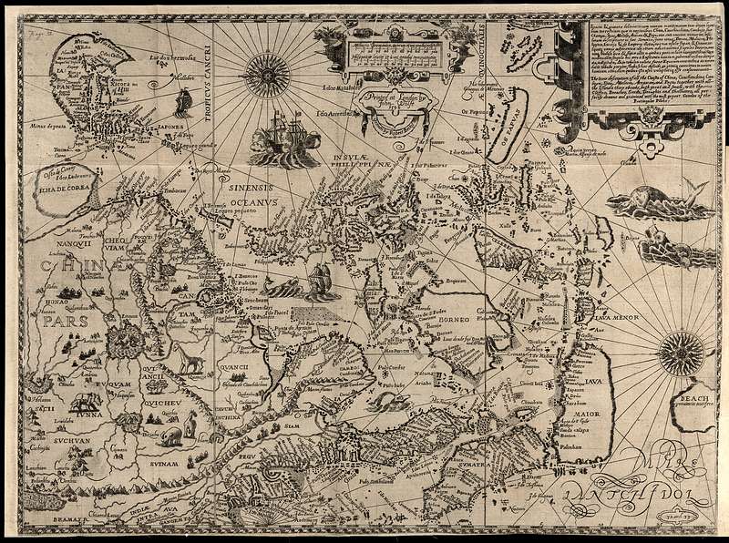
Diogo Homem (1521–1576) was a Portuguese cartographer who worked in London and Venice. His 1554 map Lopo Homen Mapa Mundi shows Korea as a peninsula-shaped collection of islands. It is perhaps the first European map to represent Korea although it does not name it.
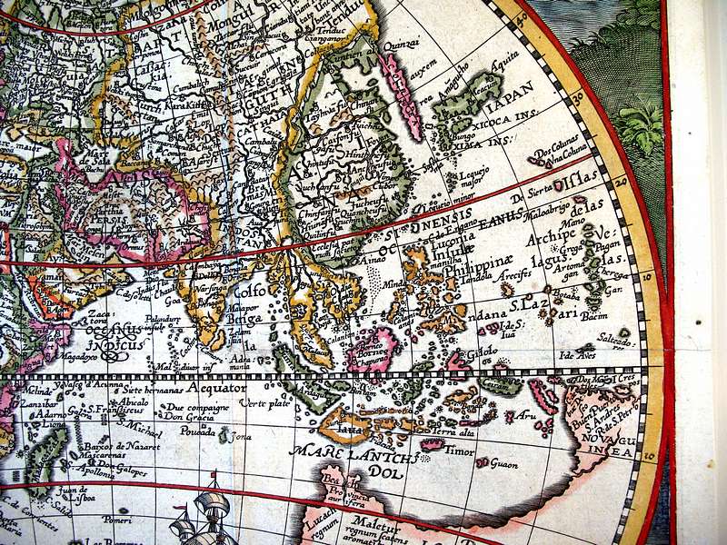
Petrus Plancius Orbis Terrarum Typus De Integro Multis In Locis Emmendatus, auctore Petro Plancio Amsterdam, 1594. Ioannes a Duetecum iunior fecit. This was based on a map by the Portuguese cartographer Luís Teixeira, who was not quite sure if Korea was an island or not but the map shows Corea lightly joined to the continent.
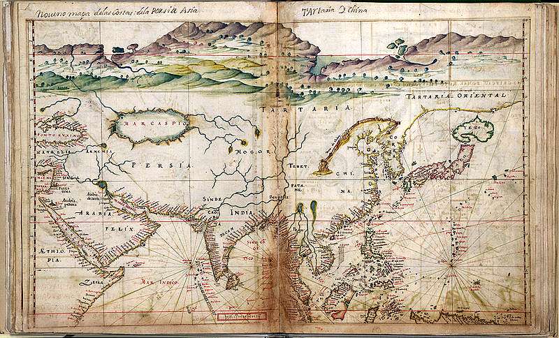
Joao Teixeira was the son of Luis Teixeira; his chart of the North Pacific c. 1630 still clearly shows Korea as a peninsula. Taboas geraes de toda a navegação, divididas e emendadas por Dom Ieronimo de Attayde com todos os portos principaes das conquistas de Portugal delineadas por Ioão Teixeira cosmographo de Sua Magestade, anno de 1630
